
Build live maps
Track trains. Visualize road closures. Monitor anything that moves.

Headway
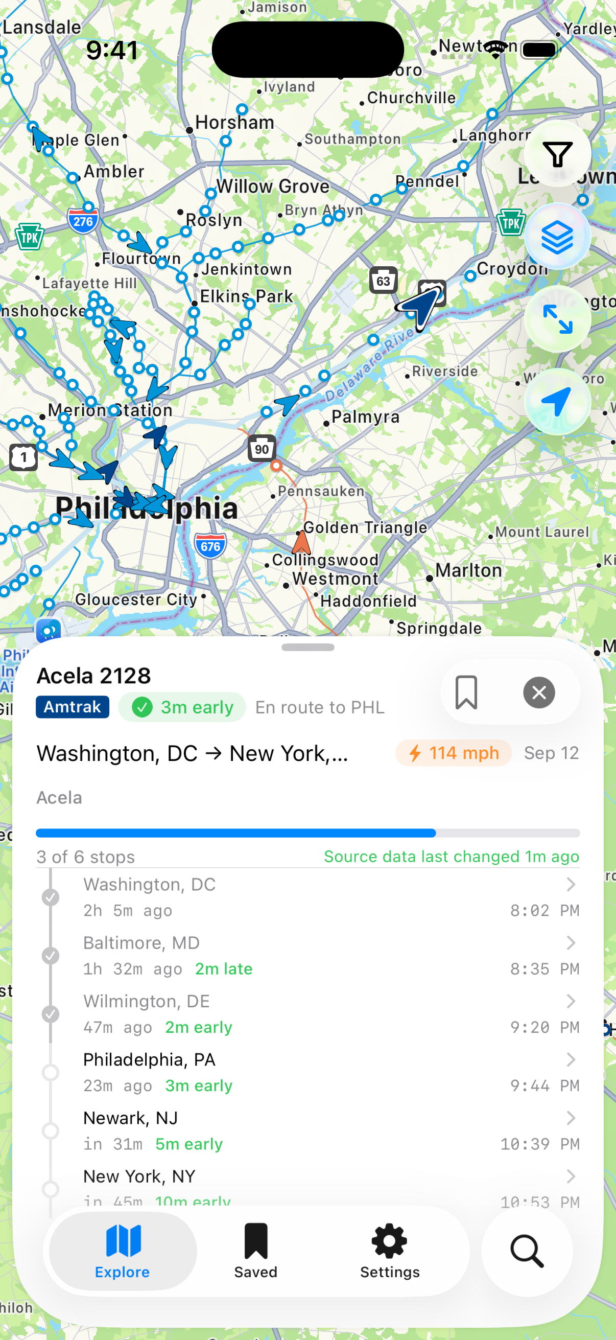
Live U.S. passenger rail in one app. Where your train actually is, how late it's running, and when it reaches your station — built on Axis, on the same data plane everything else here runs on.
- Amtrak
- NJ Transit
- LIRR
- Metro-North
- SEPTA
- Metra
- Caltrain
- Brightline
- and more

Denver International
Ground stopLow ceilings
Boston Logan
Ground delay12 min average
Airspace
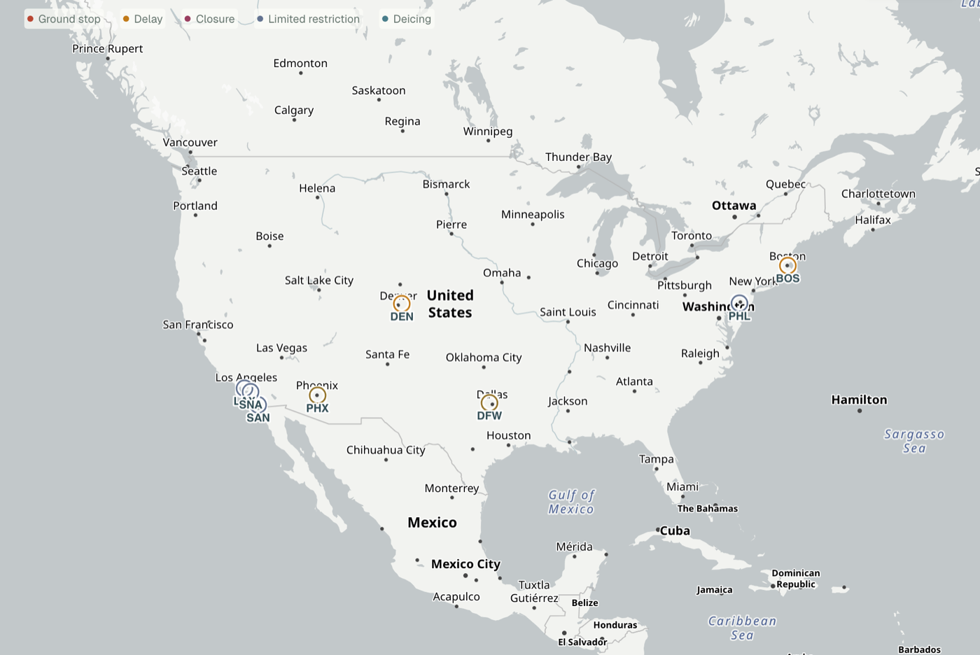
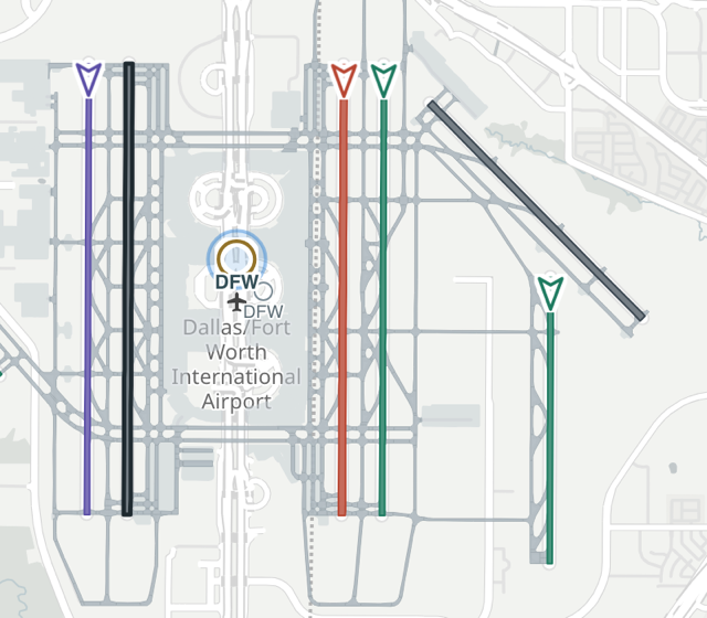
A clearer view of FAA airport events. Every ground stop, delay and closure the FAA reports, on one national map, with the airports underneath it drawn runway by runway.
- Airport diagrams for every public-use U.S. airport.
- Runways in use at major hubs, read from the tower's own ATIS broadcast.
- Which centers a ground stop or flow program reaches, shaded on the map.
You bring
the what if.
Axis helps you find the data and turn it into a living app. Keep talking. Keep shaping it.
What would you build?Could we map airport ground stops?
Yes. I found an FAA source we can use.
Preview Put the airport list beside the map.
Keep the colors muted.
An initial preview is ready with a list pane on the left and the live map on the right.
Color the icons by delay severity
Show airport labels only on hover
Explore
More built on Axis.
DC Ward Map
Every ward, ANC, and single-member district in Washington, DC.
Open app →Brooklyn Half Marathon 2026
Closures from Prospect Park to Coney Island, hour by hour.
Open app →Salt Lake City Marathon 2026
Race day road closures with time-based filtering.
Open app →Rock 'n' Roll DC 2026
Street closures for DC's largest running event.
Open app →Broad Street Run 2024
Philadelphia's 10-mile race down Broad Street.
Open app →Get early access
Axis is in private alpha. Sign up for updates and access.